 |
 |
|
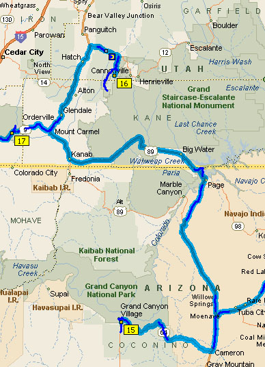
| The map from Grand Canyon to Bryce Canyon to Zion can be
shown on the map below. 15
is the Grand Canyon, 16
is Bryce Canyon and 17
is Zion National Park. Again, the light blue shows the bus
route and the dark blue is the track set down by mp GPS. They
will differ today from time to time. |
 |
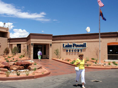
| The dam changed Glen Canyon, a favorite rock climbing area
... |
 |
| into the Lake Powell resort. It made many of my graduate
student buddies very angry. They started filling it just when
I finished my graduate study at Boulder, Colorado. |
 |
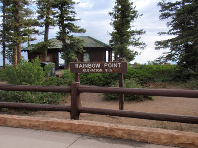
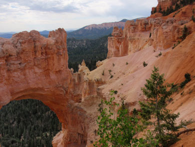
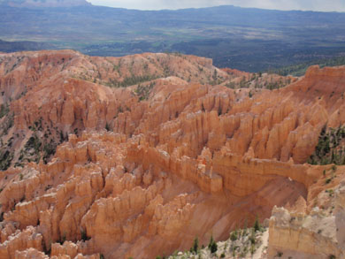
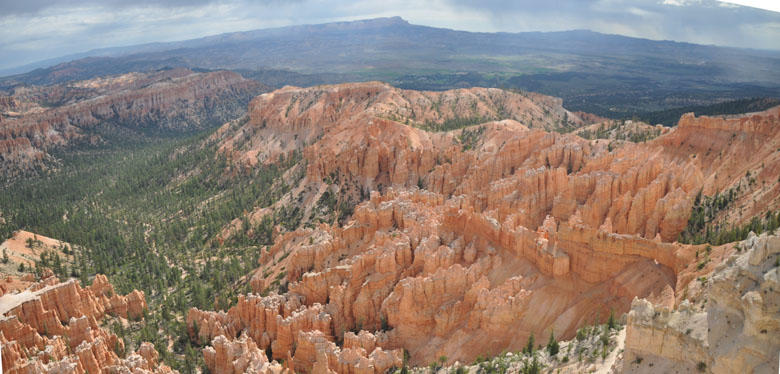
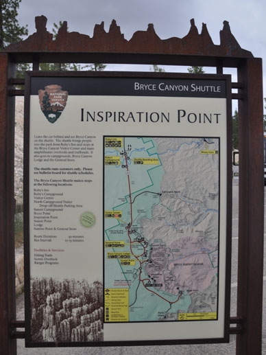
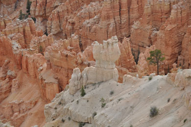
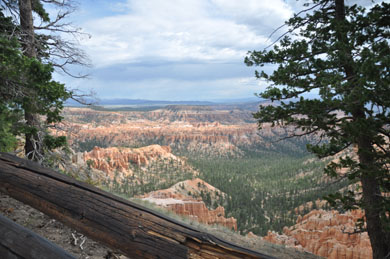
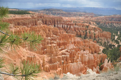
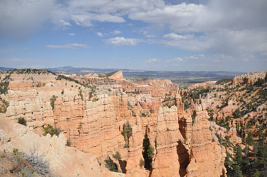
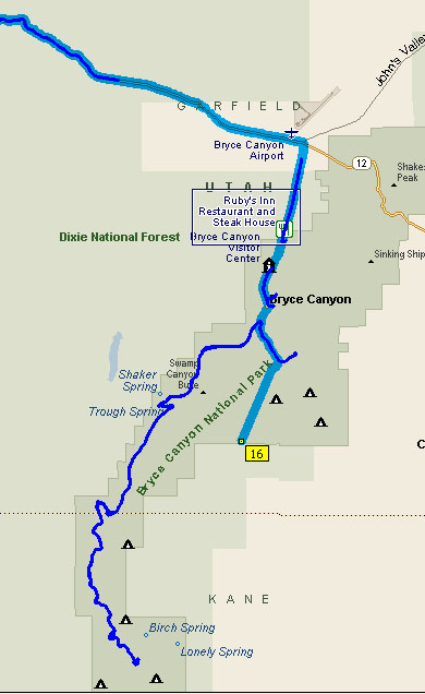
| But on with our trip. The map on the right shows us the
Bryce Canyon National Park. Those of you on the bus tour
will recognize Ruby's Inn. We actually stayed in the park at
the Sunrise Lodge. The dark blue line is the actual GPS
trail of our next morning's drive through the park. The first pictures
below are taken before we arrived at our lodge. |
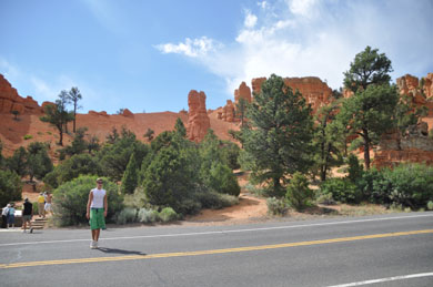 |
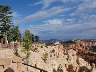
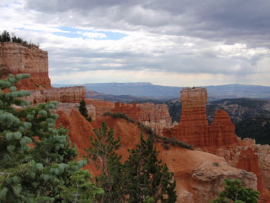
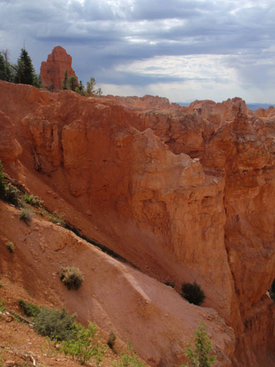
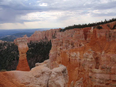
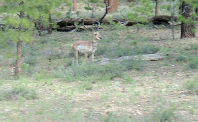
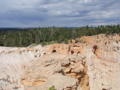
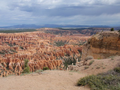
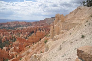
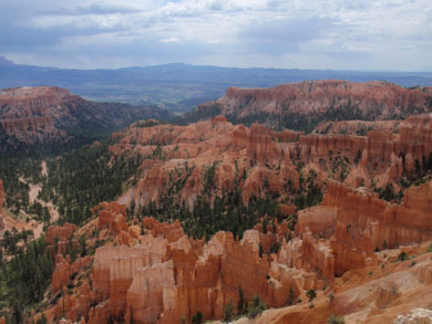
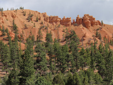
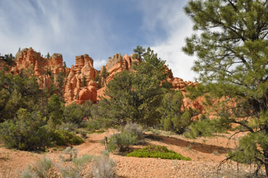
| This photo stop was 4:45 PM. |
 |
 |
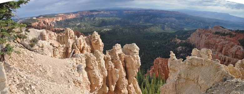
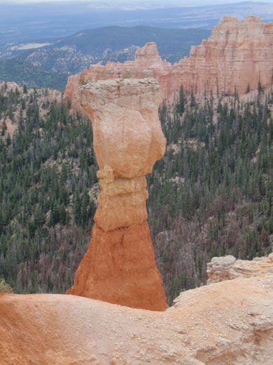
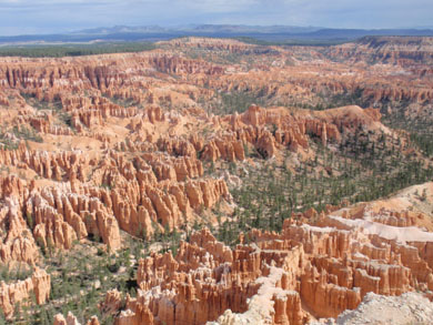
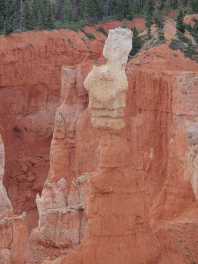
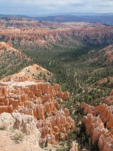
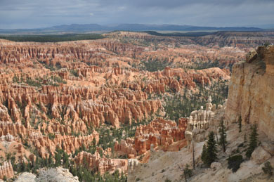
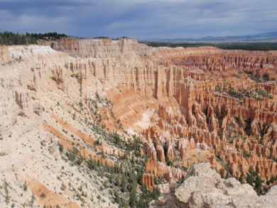
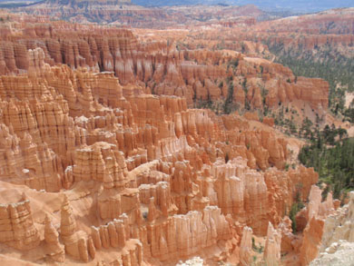
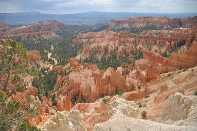
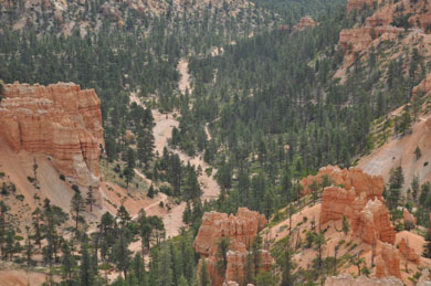
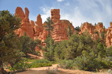
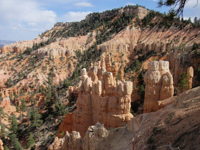
| The above spectacular scene was taken at 5:15, a half hour
later. |
 |
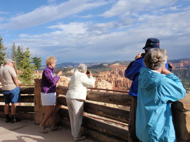
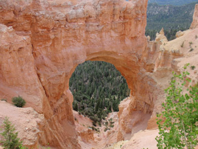
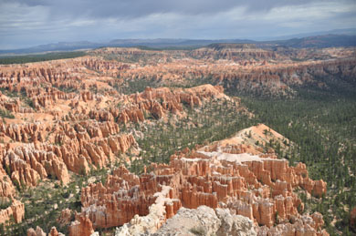
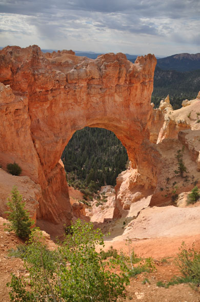
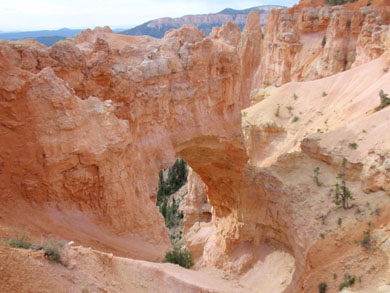
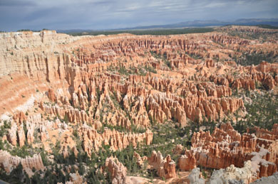
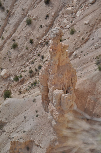
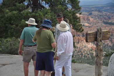
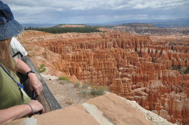
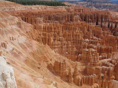
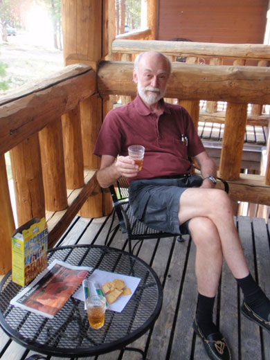
| The above picture was taken also at 5:15. My favorite
picture is the one on the right, drinking a glass of scotch at
6:45 PM. The lodge was very comfortable with a deck and two
barely comfortable wire chairs. The scotch, the wheat
thins and cheese made it a very nice event. Not sure where we
ate dinner that evening. On our own, we frequently ate in. |
|
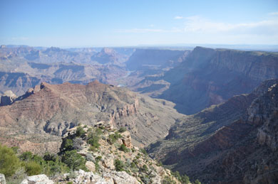
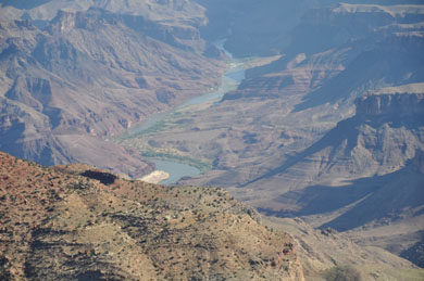
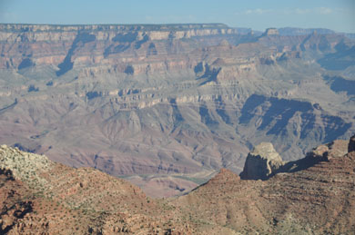
| Before we leave the Grand Canyon, let's stop on the way out
and take some parting shots of this most Grand geological
wonder perhaps in the world. |
 |
 |
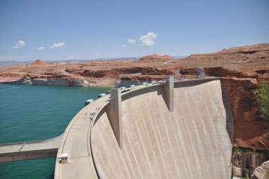 |
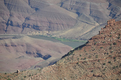
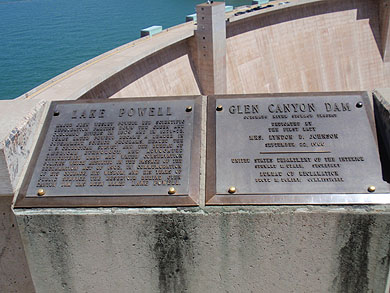
| Not numbered on this map is the Glen Canyon dam (above)
and is at the town of Page on the map left. |
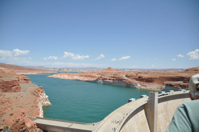 |
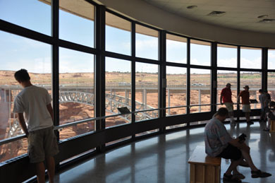
| Note how low the water level is. It's been very dry in the
West. |
 |
 |
 |
 |
 |
 |
|