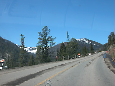
From Cody to Mammoth Hot Springs -- our home for two nights.  

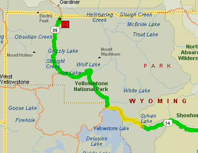
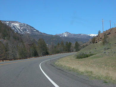
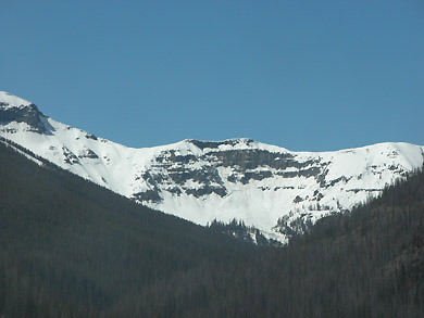
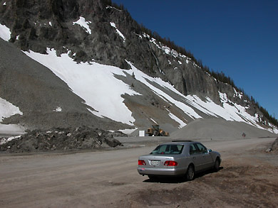
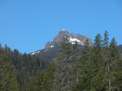
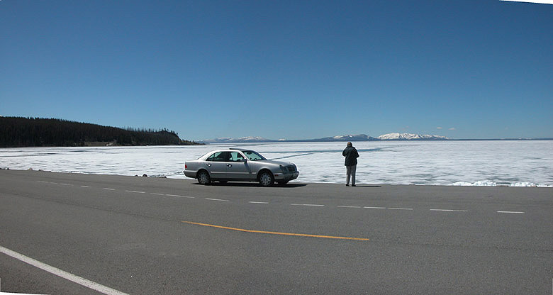
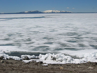
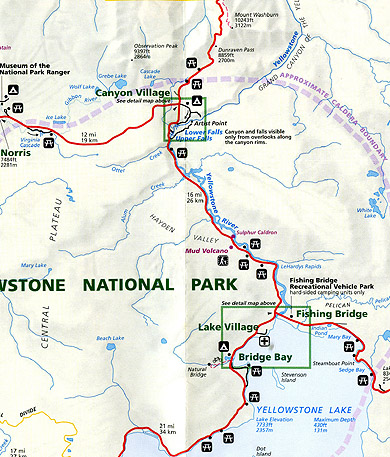
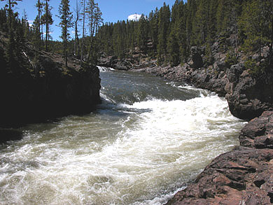
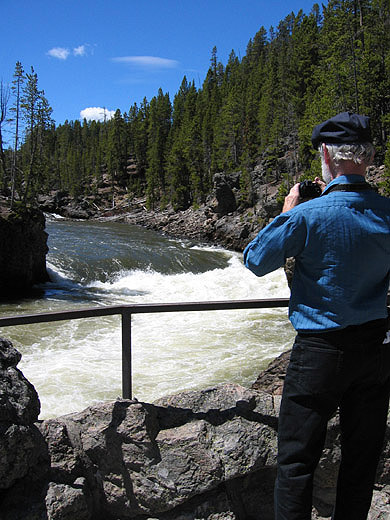
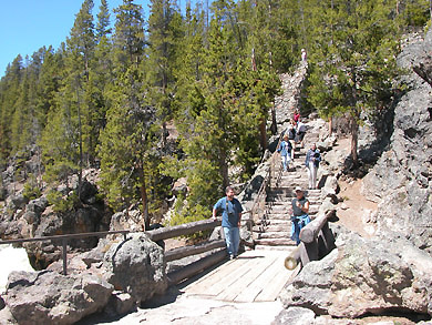
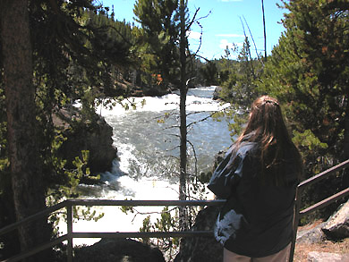
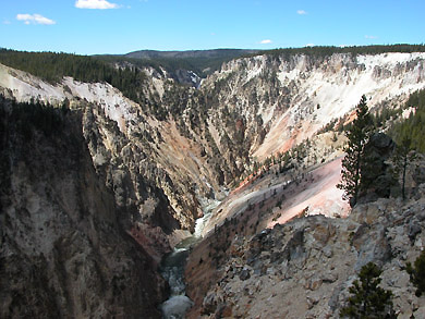
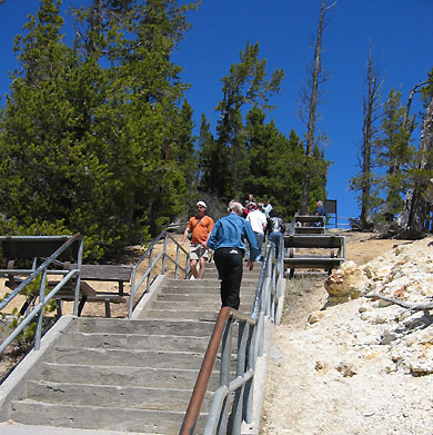
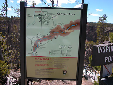
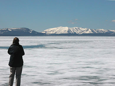
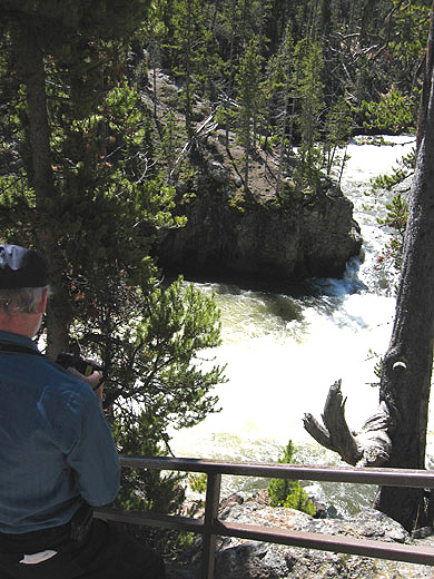
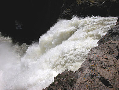
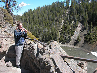
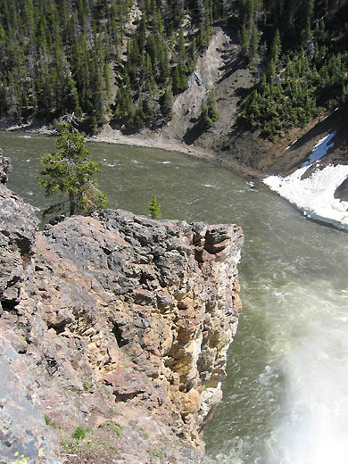
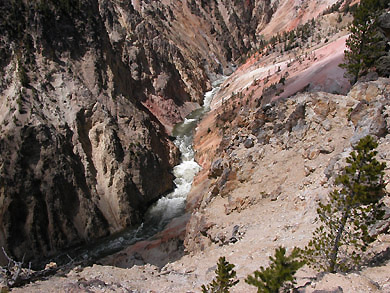
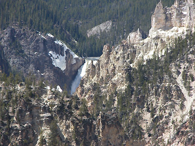
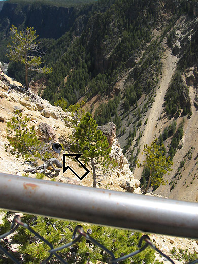
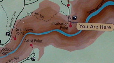
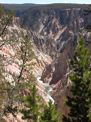
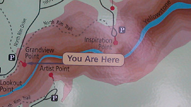
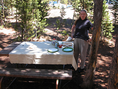
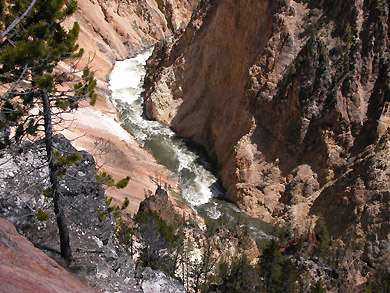
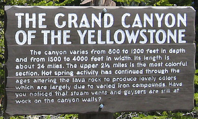
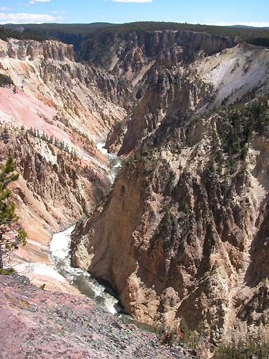
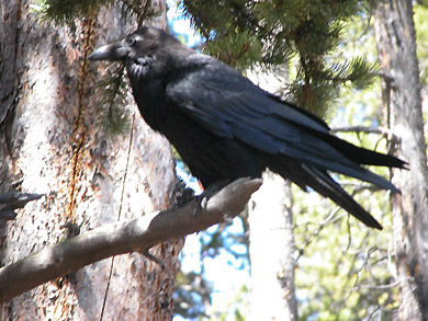
To the left is a map of a portion of Yellowstone National Park with our Day One route outlined in green and yellow. (Not sure why the yellow.) We left Cody, Wyoming early the morning and entered the park before noon. The green road that goes right through the words "Yellowstone National Park" closely follows the Yellowstone River and we spent much time in that beautiful region, taking many pictures. We continued on to Ice Lake up Route 89 by Grizzly Lake to Mammoth Hot Springs. Couldn't check into our cabin for about an hour, so we killed time walking around the buildings and taking close-up pictures of very tame deer. After checking in at 4 PM, we walked around the steaming bubbling springs taking more pictures.  We meandered back to our cabin, saw some cute little prairie dogs in our back lawn and finally ate dinner at around 7. Altogether, we took 105 pictures, many of which we will share in these web pages.

A beautiful road up to the Yellowstone entrance gate.
We are just inside the East Gate of Yellowstone.
It is now May 22. Perhaps this is the yellow road on the map.  
This magnificent mountain is called "Sleeping Giant"
This road just opened after the winter closing on May 6.
This rough road goes over Sylvan pass; 8530 ft. above sea level.
Just before emerging to the shore of Yellowstone Lake, an overlook took us to Lake Butte; look at this  PANORAMIC VIEW.

Elaine, standing next to Yellowstone Lake, covered with fog. The grand Tetons are in background.

Another definition of morning fog.

Please note that I am wearing my brand new blue hat I bought on-line just weeks before the trip. It's not fitting to well.
Tourists descending into the Upper Falls area. 
Note: I am no longer wearing that blue hat that didn't fit well! But note the picture to the right.
This is where we were for these pictures. And there is my hat. It fit so poorly that a big wind took it right off my head. 

The map to the left defines our next journey. The lake pictures above are identified as Yellowstone Lake bottom right corner. We are on the red road just above the lake. Our next 16 mile drive takes us along the mighty rushing Yellowstone river to Canyon Village. The madly rushing river in the pictures below are from the Upper Falls. We have some pictures later from Artist Point -- also identified on the map.

These rapids are just breathtaking.
Below, Elaine is taking a picture with her Canon Elph.
Elaine taking picture of the raging river below.
The mighty Yellowstone River above and the falls below.
That's the most gorgeous waterfall I have ever seen!
A chain link fence and the huge cliff down on it's right prevented me from even thinking about trying to retrieve it.
Lets take a closer look at the map above. I lost my hat at Inspiration Point, and this sign is at the loop in the road. Now, we will take the North Rim Trail to Grandview Point. I can't find words to describe these scenes. I'll let the sign to the right do the job for me.
Note, across the river from this sign is Artist Point, the next place we will drive to -- after lunch!
Quoth the raven, "I want some too."  Well, he/she didn't get any and before long, we were all alone to enjoy our lunch by ourselves.

Next, we drive to Artist Point to see the falls from another angle, and head    North to Mammoth Springs.
Table of Contents :            Comments are always welcome.